Friday 27 February 2015

Drying cages of Tähtelä

During the early spring in Lappland, as the Sun gets higher and daytime temperatures rise, strange cages of chicken wire start appearing on balconies and outside houses.  These contain strips of reindeer meat which have been salted and hung up to dry for a few weeks.  Weather conditions are supposed to be variable for this process, with generally positive temperatures in the daytime but going below freezing at night.  With the rather mild weather of late, a few of us in Tähtelä have already started.


As you can see, the size and shapes of the home-constructed cages (needed to keep the birds away), and quantity and type of reindeer used varies quite substantially from the 5kg of reindeer hearts to a piece of steak.  The results will be ready in a few weeks!

Wednesday 25 February 2015

Rector Jouko Niinimäki visited SGO


The new Rector of the University of Oulu, Prof. Jouko Niinimäki, who is in office since 1st January 2015, visited SGO for the first time on Monday 23rd February 2015. He was very impressed by what he saw at Sodankylä, including all measurement activities, which today span from Svalbard via Sweden, Finland and Ethiopia all the way to Antarctica. Rector Niinimäki stated afterwards that certainly he wants to visit soon again to learn more. Furthermore, he wants to promote SGO's activities as part of concrete actions to reinforce the international status of the university in general and SGO in particular as a highly competent expert organisation in Arctic sciences.

Text and photo: Esa Turunen.

Friday 20 February 2015

Successful ICI-4 rocket launch during fieldwork at ESR

Lucky again! The Master and PhD students in Arctic Geophysics at the University Centre in Svalbard (UNIS) are this time spending the week at the EISCAT on Svalbard Radar (ESR). They are allocated two hours of radar time per pair of students to run the experiments they designed during the previous weeks to study substorms, polar cap patches, auroral structures and ion outflows. If Tuesday night was the opportunity to take group pictures in front of the ESR dishes with the aurora in the background, last night was a really special one.

It reads "UNIS" (of course).
Photo: M. Grandin

Indeed, as the weather conditions were quite promising, we were informed upon our arrival at ESR that the ICI-4 rocket was likely to be launched from Andøya (mainland Norway) that very night. The ICI-4 mission, led by Pr Jøran Moen from the University of Oslo, is aimed at studying the interaction of an electron cloud with an auroral arc. The electron cloud in question is the result of the drifting of a polar cap patch to auroral latitudes. Since such a configuration generates high disturbances on radio signals, it is a topic of great interest, and in-situ measurements of the physical phenomena occurring within this structure therefore prove extremely valuable.

There was a lot of suspense regarding the possibility to have at the same time favourable weather and geophysical conditions, and both from Andøya and ESR we were all monitoring in real time the ionospheric measurements made by EISCAT and the Norwegian magnetometer chain. Finally, as the optimal conditions appeared, it was decided to launch ICI-4. The final countdown ended at 23:06 local time (22:06 UT), and we all followed the mission elapsed time count for about ten minutes after the take-off.

Happiness at ESR after the successful launch.
Photo: A. Hall

After such a thrilling fieldwork evening, let us wish to Jøran Moen and all the people involved in ICI-4 that the rocket recorded great data for them to study what happens when an electron cloud encounters an auroral arc!

Thursday 19 February 2015

Group photo - Space Physics School, Bahir Dar 2015

The 2015 space physics school is coming to an end. Tomorrow, we have three hours in the university and then football in BDU stadium. Hence, today was time to take group photo.


Group photo of the space physics school.


Monday 16 February 2015

Space Physics School 2015, Bahir Dar, Ethiopia

This week, me (Lassi) and Antti are down in Bahir Dar, Ethiopia, teaching in a space physics school. Other teachers in the school are Mike Kosch from South African National Space Agency and Mark Moldwin from University of Michigan (USA). Staff and students from Bahir Dar University will also present their studies.

In the school, we shall cover riometry, tomography, incoherent scatter and many other near-space probing methods. The school shall take place in Jacaranda hotel, next to the beautiful Lake Tana. Hence, looking forward to a busy, but an interesting week!

... and naturally, according to the tradition, the week will end with a football match at the BDU stadium! We will post follow-ups later this week!

A random view from the terrace of the Jacaranda hotel.


Thursday 12 February 2015

Field work at the Kjell Henriksen Observatory

This week, the Master and PhD students in Arctic Geophysics at the University Centre on Svalbard (UNIS) are going up to the Kjell Henriksen Observatory (KHO) every evening to do some field work.  To get up to the observatory, we first need to drive to Mine 7 on Adventdalen and then have a ten-minute drive to KHO in a so-called bandwagon. Quite an experience...

The bandwagon.
Photo: M. Grandin

Many optical instruments make auroral observations at KHO and monitor the geomagnetic activity. First, there are several UNIS cameras to record the auroral emission above KHO, among which: a DSLR all-sky camera, taking colour images with a resolution ranging between 5–30 s, an all-sky video camera with 25 ms time resolution and a narrow-field monochromatic imager enabling to study fine structures within the auroral arc when it fills the field of view. Imagers owned by other institutes (University of Oslo, Finnish Meteorological Institute, University College London...) are also set up at KHO.

The meridian scanning photometer at KHO (owned by UNIS).
Photo: M. Grandin

The instrument on which we focus the most is the meridian scanning photometer (MSP). It measures the number of photons reaching the detector in order to provide the intensity of the auroral emission. Thanks to a rotating mirror, a scan of the sky along the geomagnetic north-south direction is made every 4 s. When an auroral arc is present, since it is generally oriented along the east-west direction, its elevation as seen from the observatory is recorded. By making a keogram out of the data, it is therefore possible to track the movement of the aurora across the sky. We made an absolute calibration of the MSP last night. This operation is generally performed about three times in the aurora season.
Tonight, we will do some bigger work: we need to make the absolute calibration of three spectrometers. We will mostly work outside, keeping two people to watch for polar bears and getting some others climb onto the roof of KHO. It should be quite chilly (around -30°C) but fortunately without too much wind...

A photomultiplier similar to the one used by the meridian scanning photometer.
Photo: M. Grandin

As a bonus, it turns out that we have been very lucky weather-wise, as we were granted clear skies for our first two nights onsite. Cherry on the top, we even got some aurora (i.e. good data to analyse later)! Although it was quite cold outside – around -25°C –, we of course found enough motivation to go out to take some pictures.

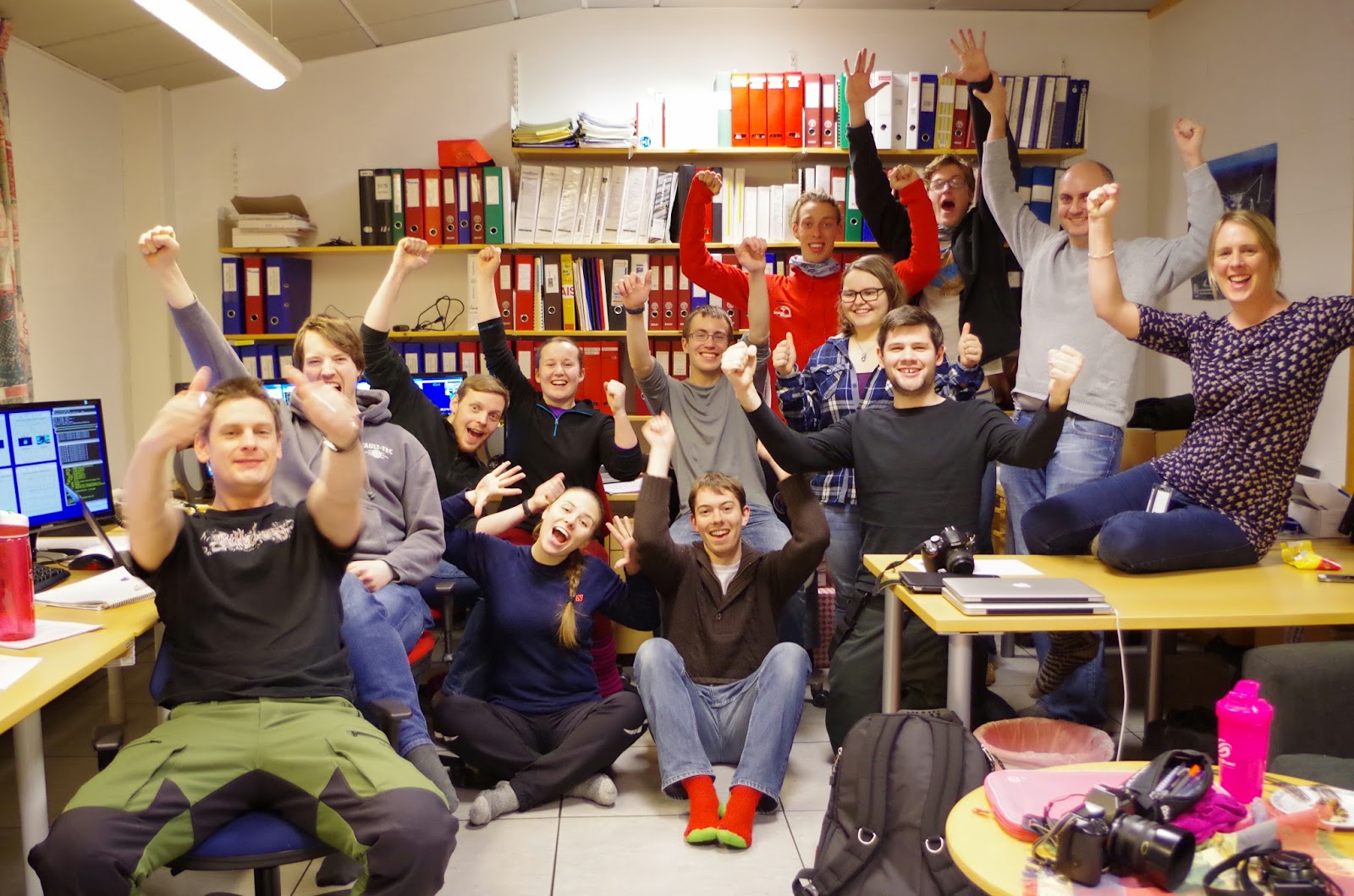
Group picture under the aurora!
Photo: D. Billett

Wednesday 11 February 2015

Simultaneous phase and intensity scintillation from Cas A

The scintillation due to the ionosphere of Cassiopeia A seen on Christmas Day 2013 from KAIRA, in which the source was observed to shift position and shape, was followed exactly 48 hours later by a period of calm when Cassiopeia A could be seen in the same part of the sky but with virtually no scintillation.  This meant that the quiet day could be used to ascertain the "real" position of Cassiopeia A at the same local sidereal time and the movement of the source relative to this due to the scintillation measured.   The technique described in Monday's 'blog post was used to calculate phase  directly from the imaging, both in terms of the location of the source relative to the image centre and relative to the "real" position measured on the quiet day.
In the plots above, the top two panels show dynamic spectra of the intensities measured on both days using beam-formed observations.  The third plot shows the phase for the location of Cassiopeia A in the all-sky images, relative to the baseline between LBA antenna numbers 45 and 34.  The scintillation is easily seen in the rapid variation of phase seen on the 25th December 2013, with the phase on the 27th being almost constant (the slight downwards trend is due only to the daily movement of the source across the sky).  The lower plot is phase calculated from the relative positions of Cassiopeia A on each day and illustrates the movement of the source around its "real" location.

Monday 9 February 2015

Phase calculation in all-sky imaging

For an interferometer such as KAIRA, the raw data product for imaging purposes is a set of "visibilities" which are essentially the cross-correlations of the voltages sampled by each antenna-pair in the array.  These encode the amplitudes and phases of the interference fringes of any source in the field of view.  An image is obtained via a Fourier-transform-type relation between visibilities and intensities (source brightness) known as the van Cittert - Zernike relation.

For convenience, the antenna co-ordinates are converted into a set of baselines between each pair in a uvw co-ordinate system perpendicular to the source direction where u is towards the east, v is towards the north and w is towards the source.  In the case of KAIRA all-sky images, the source direction is zenith.  The image transform from the visibilities then creates a "flattened" image (orthographic projection) of the visible sky with co-ordinates l,m corresponding directly to u,v (the w direction is neglected in this case).   The phase for a given point on the image and antenna baseline is simply the dot-product of the l,m co-ordinates of the point on the image (basically the normalised number of pixels from the centre in each direction) and the u,v co-ordinates of the antenna baseline (expressed in wavelengths in this case).


The left-hand image above plots the phases for each antenna pair for the location of Cassiopeia A in an image from 16:00 UTC on 2013-12-27 (the image is Hermitian and so only one half is shown).  These have not been arranged in terms of the array layout on the ground, but do show the alternate positive (yellow-red) and negative (blues) phases of the interference pattern.  The maximum phase occurs for the baseline between antennas 43 and 34, indicated by the end of the white line.  A plot of phase with baseline length for antenna pairs along this baseline is given on the right and shows the phase increasing with baseline length. 


The plot above indicates the location and direction of this baseline on the array and demonstrates that this represents the closest baseline alignment to the direction of Cassiopeia A as seen in the image.


Friday 6 February 2015

Lapland Aurora Statistics 2015

Below is the (updated) statistics of the northern lights in Sodankylä in Finnish Lapland. These statistics show the probability of northern lights. More detailed information can be found at http://www.sgo.fi/Data/AllSky/allskyFAQ.php.

Recently, we have had rather strong auroral activity. As the weather in Sodankylä seems to be good this weekend, so we are looking forward to seeing some auroras!


Thursday 5 February 2015

The History of Svalbard course (and its unexpected Royal visitor)

This week and the previous one, an excellent twenty-hour course on the history of Svalbard is being given at UNIS by Dr Thor B. Arlov, who is also the Pro-Rector for Research at NTNU (Norges Teknisk-Naturvitenskapelige Universitet) in Trondheim, Norway. The lectures take place every evening and are open to the Longyearbyen public as well.

During these two weeks, the Svalbard Museum allows the students who take this course to visit the expositions for free. It provides very interesting illustration of the different activities which brought people to Svalbard after its discovery by Willem Barentsz in 1596: whaling, hunting, coal mining, and ultimately research and tourism. One session focused on the development of scientific research on Svalbard, from Chichagov's expedition in 1764–1766 until the establishment of UNIS in 1993 and the installation of the first antenna of the EISCAT Svalbard Radar in 1996.

The (cosy) interior of a Russian trapper's house

The course also describes the expeditions to(wards) the North Pole which departed from Svalbard during the 19th and early 20th centuries, and it discusses the specific administration and status of the archipelago within the kingdom of Norway.

By the way, this week, Queen Sonja of Norway is in Longyearbyen and has been visiting many of the local facilities, including UNIS, the Kjell Henriksen Observatory and the Svalbard Museum. She even attended about half an hour of yesterday's course! And – mere coincidence – that part of the lecture dealt with... the process by which Svalbard was integrated into the kingdom of Norway, and how its local administration has been evolving, until the creation of the local council (lokalstyret) in 2002.

Monday 2 February 2015

Ionosfäärin tomografiamittauksiin uusia laitteistoja ja laskentamenetelmiä

Ilmatieteen laitoksen vetämässä ionosfääritomografiaprojektissa TomoScandissa on kehitetty uusia menetelmiä ionosfäärin kuvantamiseen. Ilmatieteen laitoksen lehdistötiedote projektin viimeisimmistä käänteistä julkaistiin tänään IL:n sivuilla. Lehdistötiedote löytyy täältä.

Projektin tieteellisiä tuloksia on raportoitu Radio Sciencessa:

J. Norberg, L. Roininen, J. Vierinen, O. Amm, D. McKay-Bukowski, M. Lehtinen.
Ionospheric tomography in Bayesian framework with Gaussian Markov random field priors.
Radio Science 01/2015, DOI: 10.1002/2014RS005431.
http://onlinelibrary.wiley.com/doi/10.1002/2014RS005431/abstract

J. Vierinen, J. Norberg, M. S. Lehtinen, O. Amm, L. Roininen, A. Väänänen, P. J. Erickson, D. McKay‐Bukowski.
Beacon satellite receiver for ionospheric tomography.
Radio Science 10/2014, DOI: 10.1002/2014RS005434.
http://onlinelibrary.wiley.com/doi/10.1002/2014RS005434/abstract


SGO:n ja Ilmatieteen laitoksen 11 vastaanotinasemaa
sijaitsevat Virosta Huippuvuorille.